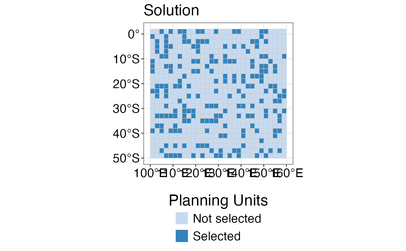
This function allows to customise plots in a simple and reproducible way, by
giving the option for several inputs that can be included in maps produced
with the other functions of this package.It can be combined with the
spatialplanr spatial plotting functions.
Usage
splnr_gg_add(
  PUs = NULL,
  colorPUs = "grey80",
  Bndry = NULL,
  colorBndry = "black",
  overlay = NULL,
  colorOverlay = "grey20",
  overlay2 = NULL,
  colorOverlay2 = "grey30",
  overlay3 = NULL,
  colorOverlay3 = "grey40",
  contours = NULL,
  colorConts = "black",
  cropOverlay = NULL,
  lockIn = NULL,
  typeLockIn = "Full",
  nameLockIn = NULL,
  alphaLockIn = 0.5,
  colorLockIn = "black",
  legendLockIn = "",
  labelLockIn = "MPAs",
  ggtheme = "Default"
)
Arguments
- PUs
Planning Units as an
sfobject- colorPUs
A color value for the outline of planning units.
- Bndry
The planning region boundaries as an
sfobject- colorBndry
A color value for the outline of the boundary.
- overlay
An
sfobject of overlay polygon.- colorOverlay
A color value for overlay.
- overlay2
An
sfobject of overlay polygon.- colorOverlay2
A color value for overlay.
- overlay3
An
sfobject of overlay polygon.- colorOverlay3
A color value for overlay.
- contours
An
sfobject of contours that are important to visualise (e.g. outline of sea mounts, ridges; can be produced with terra::as.contour()); up to 6 different contours possible.- colorConts
A color value for contours.
- cropOverlay
An
sfobject with the boundary box used for cropping the overlay object.- lockIn
An
sfobject with binary data of locked in areas in the prioritisation (e.g. MPAs).- typeLockIn
Either "Full" or "Contours"; "Full" maps the locked in areas on top of the planning units; "Contours" draws the outline of the locked in areas.
- nameLockIn
column of data frame that contains binary information of the locked in areas to plot
- alphaLockIn
A value (0-1) for the opacity of the locked in areas when plotted on top of other plots.
- colorLockIn
A color value for the locked in areas.
- legendLockIn
A character value for the title of the legend of the locked in areas. Can be empty ("").
- labelLockIn
The legend label of the locked in area (e.g. MPAs)
- ggtheme
The theme applied to the plot. Can either be NA (default ggplot), "Default" (default spatialplanr: theme_bw() and some basic theme settings) or a user-defined list of theme properties.
Examples
dat_problem <- prioritizr::problem(dat_species_bin %>% dplyr::mutate(Cost = runif(n = dim(.)[[1]])),
  features = c("Spp1", "Spp2", "Spp3", "Spp4", "Spp5"),
  cost_column = "Cost"
) %>%
  prioritizr::add_min_set_objective() %>%
  prioritizr::add_relative_targets(0.3) %>%
  prioritizr::add_binary_decisions() %>%
  prioritizr::add_default_solver(verbose = FALSE)

dat_soln <- dat_problem %>%
  prioritizr::solve.ConservationProblem()

splnr_plot_solution(dat_soln) +
  splnr_gg_add(PUs = dat_PUs, ggtheme = "Default")
#> Coordinate system already present. Adding new coordinate system, which will
#> replace the existing one.

